A geological assessment of Manor Park mentions the ...
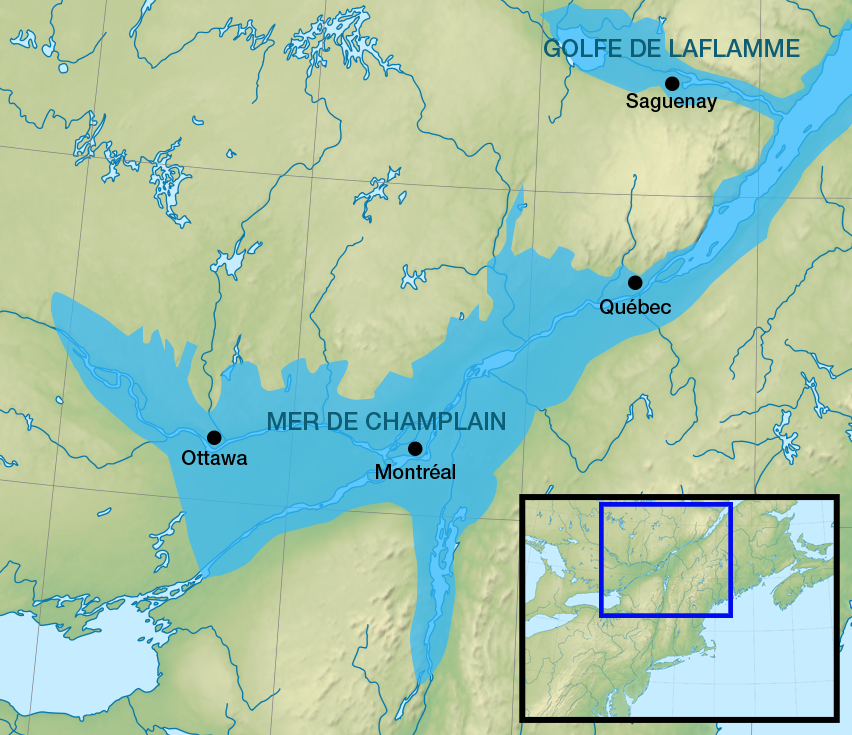
...vertical cliff along Rockcliffe Parkway where it curves up escarpment west of the Ottawa-New Edinborough tennis courts: Cross-beds are inclined at low angles to the main, near-horizontal bedding to form wedges that are visible from the pathway across the road ...Further down the page, the geologist reminds us that at one time there was a sea, rather than a river, here:
... limestones were deposited in a shallow (mainly < 10 m) sea on a continental shelf, or within an intracontinental basin. The limestones vary from fine-grained to coarsely crystalline and include accumulations of shell or skeletal fragments broken by wave action and marine currents.
The thought of that big melt puts our present day springtime thaws into perspective!
No comments:
Post a Comment